Rangitoto Island


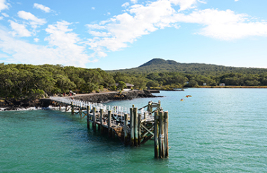
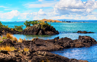
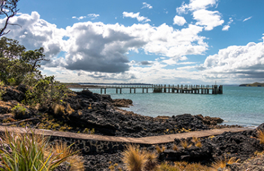
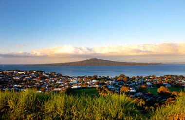
Iconic Rangitoto Island is the youngest of the volcanoes that dot the city of Auckland. Rising from the ocean floor around 800 years ago, this magnificent landmark sits proudly in the Hauraki Gulf just a 35 minute ferry ride from downtown Auckland. The 260 metre summit can be viewed from almost the entire Auckland waterfront. The trek from the ferry wharf to the summit will take you around one hour and passes through lava fields now adorned with new forest. The island is home to the largest pohutukawa forest in the world as well as over 200 native plant species. There are numerous paths to explore, leading to lava caves and the shipwrecks at boulder bay on the northern side.
The ancient island of Motutapu, despite being joined to Rangitoto, was not formed during the volcanic eruption of around 800 years ago. It is around 160 million years old. When Rangitoto erupted lava flowed onto the island and created a highly fertile area attracting Maori to cultivate the land. It has had over 300 archaeological sites registered ranging from storage pits and middens to footprints recorded in the ash from the volcanic eruption. Around 1840 Europeans began farming the island and in 1857 it was purchased by Robert Graham, an Auckland politician, who turned vast areas into pasture. During World War II, gun battery's and barracks were built on the island as part of the coastal defence system and the remains of these can still be seen. Today the island provides outdoor educational facilities to schools and groups as well as a great place to enjoy a coastal walk, swim and picnic.