Arthur's Pass National Park


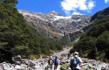
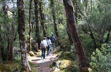
Arthur’s Pass National park straddles the Southern Alps and because of this, offers a landscape of contrast. The Western regions of the park benefit from the high rainfall that drops from the prevailing winds as it ascends the main divide, creating lush rainforests. The east is much drier and dominated by beech forest. Between the two lies the mountainous areas of the Southern Alps with home to kea and snow tussock.
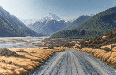
As well as the natural wonders of the park there is a long history of human presence, beginning with early Maori who used the passes to travel between the east and west coasts to trade pounamu. In 1864 Arthur Dobson surveyed the area with a view to creating a reliable route and despite his advice that it was 'almost impossible' a large number of men carved a rudimentary road through the Southern Alps - completing it in 1866. The recent Otira Viaduct was a major engineering achievement and greatly minimises the hazards of travelling this way. The West Coast goldfields were the driver for the creation of the road and also led to Arthur’s Pass village being developed.
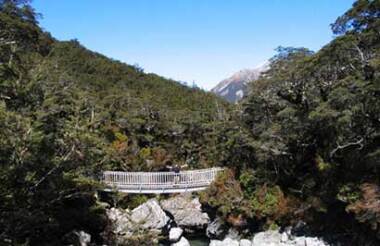
The village still exists and provides amenities including a store, cafes, restaurants and the Department of Conservation visitor centre. There are a number of ways to explore the National Park, including hiking, caving and bird-watching. Visit the DOC visitor centre, to be advised on the most suitable walks for your ability and the weather conditions.